|
|

|

|

|
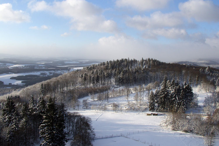
HunsrückProminent rock formations encompass vast plateaus. There are deeply cut creek valleys, swampy moors on the slopes of the mountain range ("Brücher") and many old-growth forests with characteristic plant and animal communities. There is also farmland with fields and pastures for free- ranging livestock. The natural boundaries of this region are formed by the course of the Nahe river in the south, the Saar far to the west, the Mosel in the north and the Rhein in the east. There are five large mountain ridges in the Hunsrück region: the Hochwald with the Erbeskopf (816m) in the west, which is the highest mountain in Germany west of the Rhine, the approximately 30km long quartzite ridge of the Idarwald with the Idarkopf (746m), the Lützelsoon with the Womrather Höhe (597m), the Soonwald to the southeast, which is made up of three parallel mountain chains and whose highest point is Ellerspring (657m), and, finally, the Bingerwald with the Salzkopf (628m). Up the Mosel river from these mountain ranges is the Hunsrück plateau, whose gentle undulations contrast with the rock formations of the high ridges. Photo: Snow is a constant guest in winter — clinking frosty day near Kempfeld in the Hunsrück. |
|
|
|
|
| [ Mail to Webmaster ] info@maasberg.ch |
|